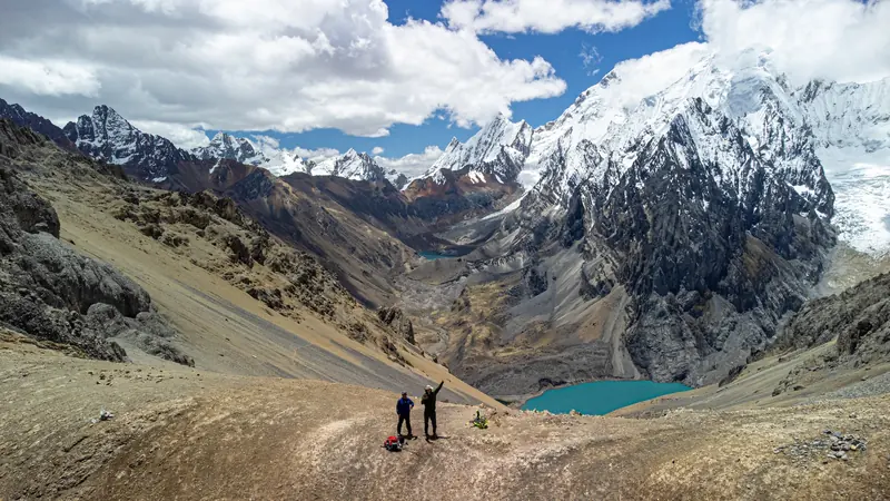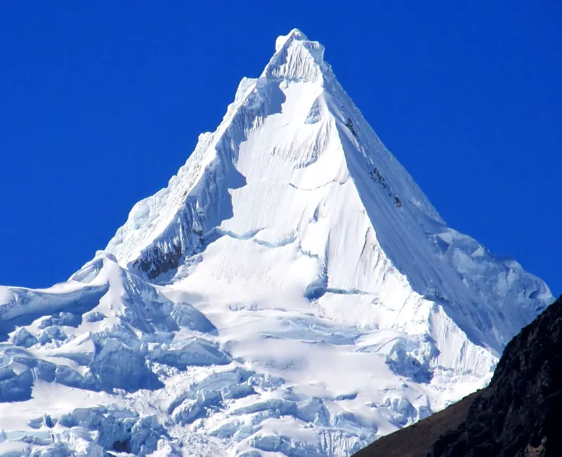
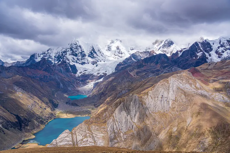
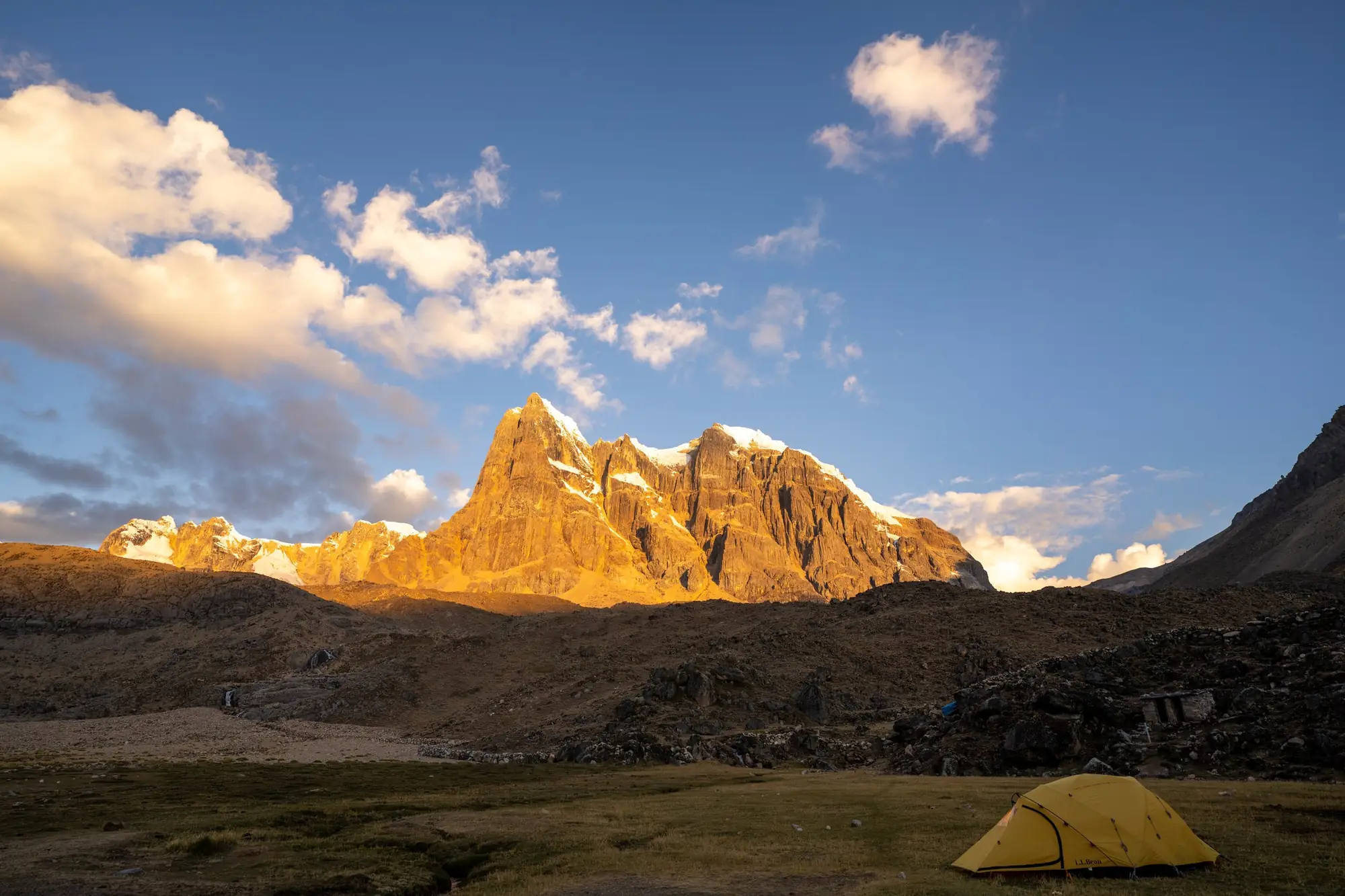
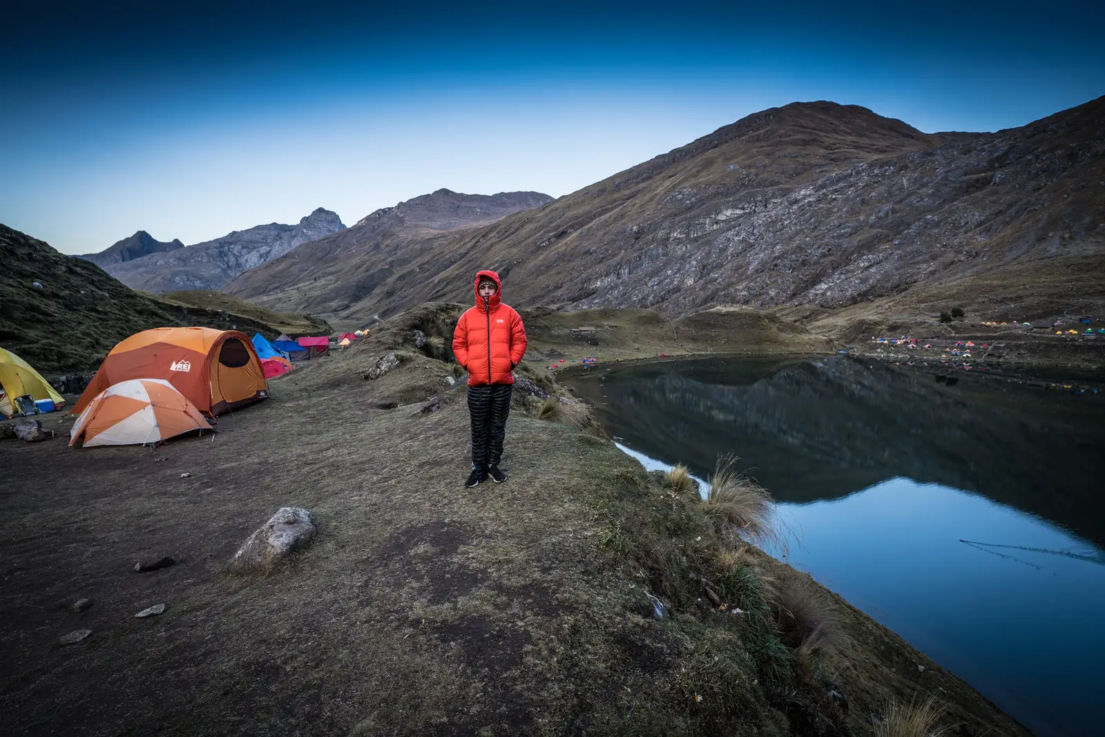
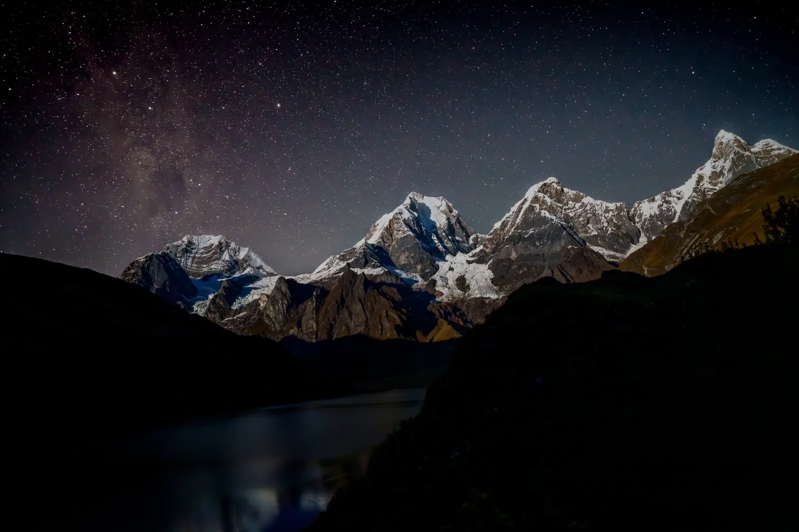

The 12-day Huayhuash trek is the full circuit of the Cordillera Huayhuash, south of the Cordillera Blanca: about 130 km (80 miles) on foot around Yerupajá, 6,617 m (21,710 ft), Peru's second-highest mountain. Our itinerary crosses seven passes, from Cacanan (4,750 m) to Mancapunco (4,650 m); the highest is Cuyoc, at 5,000 m (16,400 ft). It includes two rest days and, on day 10, an optional climb of Diablo Mudo (5,223 m). Huayhuash is not a national park: it has been a reserved zone since 2002, and each local community along the route charges its own fee at its campsites.
- Duration
- 12 days (11 nights camping)
- Hike
- about 130 km
- Max. altitude
- 5,000 m
- Difficulty
- Very challenging
- Departs from
- Huaraz, 7:00 a.m. (private bus)
- Price
- Ask for price
Huayhuash is not in Huascarán National Park: reserved zone and community fees
The range is protected as the Cordillera Huayhuash Reserved Zone (Zona Reservada), created in December 2002 by Ministerial Resolution 1173-2002-AG and covering 67,589.76 ha across the Áncash, Huánuco and Lima regions. It is not part of Huascarán National Park, so the SERNANP park ticket used in the Cordillera Blanca does not apply here.
Instead, each campesino community whose land the circuit crosses charges its own fee at its campsites. Some also protect their land as Private Conservation Areas, such as Huayllapa (Ministerial Resolution 0909-2005-AG). Fees change from season to season, so we give you the updated total when you book.
As anywhere in the high Andes, you stay on the shared trails, camp where each community indicates and pack out all your trash.
Highlights
- Seven high passes, topping out at Cuyoc (5,000 m), and nights by the Carhuacocha, Viconga and Jahuacocha lakes.
- You circle Yerupajá (6,617 m), Peru's second-highest peak, and Siula Grande (6,344 m), the mountain of Joe Simpson's “Touching the Void.”
- An optional climb of Diablo Mudo (5,223 m) on day 10: a 3:00 a.m. start and views of the range's high glaciers.
- Two rest days, at Guanacpatay and Jahuacocha, and arrieros (muleteers) with pack animals to carry the camp.
Itinerary
- Day 1Huaraz – Chiquián – Cuartelhuain
We leave at 7:00 a.m. by bus, heading south via Conococha to Chiquián and the village of Llamac: 5 to 6 hours on the road, with the first views of the Cordillera Huayhuash peaks. We camp at Cuartelhuain (4,250 m), with views of Ninashanca and Rondoy.
- Day 2Cuartelhuain – Cacanan pass (4,750 m) – Laguna Mitucocha
We climb to Cacanan pass (4,750 m), with views of Jirishanca and the Huallanca range, and descend to Laguna Mitucocha (4,200 m), where we camp.
- Day 3Mitucocha – Carhuac pass (4,620 m) – Laguna Carhuacocha
We hike south to Carhuac pass (4,620 m) and descend to Laguna Carhuacocha (camp at 4,138 m), facing the east side of Siula, Carnicero and Yerupajá.
- Day 4Carhuacocha – Siula pass (4,800 m) – Huayhuash
We climb to Siula pass (4,800 m), with views of the range's main peaks (Yerupajá, Jirishanca, Siula and Trapecio) and several glacial lakes. Camp at Huayhuash (4,350 m).
- Day 5Huayhuash – Portachuelo pass (4,730 m) – Laguna Viconga
We climb past the hamlet of Huayhuash, with the snow peaks of the Huayhuash and Raura ranges in view, to Portachuelo pass (4,730 m). We descend to camp by Laguna Viconga (4,300 m).
- Day 6Viconga – Cuyoc pass (5,000 m) – Guanacpatay valley
From here the trail turns northeast and climbs to Cuyoc pass (5,000 m), the highest of the circuit. We descend through the Guanacpatay valley to camp (4,200 m).
- Day 7Guanacpatay: rest day
A rest day, with an optional hike up to San Antonio pass for views of the main summits of the Cordillera Huayhuash.
- Day 8Guanacpatay – Huayllapa – Huatiac
We follow the valley down to the Huayllapa River, cross it and pass the village of Huayllapa. From there we climb again to the Huatiac campsite (4,300 m).
- Day 9Huatiac – Tapush pass (4,800 m) – Angocancha
We climb to Tapush pass (4,800 m) and descend to the Angocancha campsite (4,250 m), at the foot of Diablo Mudo, at the southern end of the range.
- Day 10Angocancha – Diablo Mudo (5,223 m, optional) – Laguna Jahuacocha
Those climbing Diablo Mudo leave at 3:00 a.m.: 3 to 4 hours to the moraine, then the climb to the summit (5,223 m), with views of the range's high glaciers. Afterward we descend through the Huacrish valley to Laguna Jahuacocha, facing Jirishanca and Rondoy. It is a 10 to 11-hour day. The summit is optional.
- Day 11Jahuacocha: rest day
A rest day, or an optional hike to Minapata for views of the main summits of the Cordillera Huayhuash.
- Day 12Jahuacocha – Mancapunco pass (4,650 m) – Pocpa – Huaraz
We head out through the Pacllón valley, climb to Mancapunco pass (4,650 m) and descend to the village of Pocpa, where the bus is waiting to take us back to Huaraz.
Times from our agency program; group pace, weather and trail conditions on the passes can change them. Pass and campsite altitudes from our itinerary.
What's included and not included
What's included
- Bus transport Huaraz – Cuartelhuain and Pocpa – Huaraz
- Guide for the whole trek
- Cook
- Arrieros (muleteers) and pack animals
- Camping equipment
Not included
- Community fees on the trail: each community charges at its campsites (we give you the total when you book)
- Travel insurance: we recommend a policy that covers mountain rescue and evacuation
What to bring
- Sleeping bag rated below freezing
- Broken-in hiking boots with good grip
- Layers: thermal base layer, fleece and a down jacket
- Waterproof jacket and pants
- Warm hat, gloves, neck gaiter and sunglasses
- Sunscreen and lip balm
- Headlamp with spare batteries
- Water bottles and purification tablets or a filter
- Trekking poles
- Daypack of 25 to 35 liters
- Passport and cash in Peruvian soles for expenses on the trail
- Your personal medication (acetazolamide only with a prescription, as Peru's Ministry of Health advises)

More information
The route: seven passes around Yerupajá
We drive south from Huaraz via Conococha and Chiquián and start hiking at Cuartelhuain (4,250 m), at the northern end of the range. The first days run along the east side: the Mitucocha and Carhuacocha lakes below Siula, Carnicero and Yerupajá; Siula pass (4,800 m) and Portachuelo pass (4,730 m) to Laguna Viconga; and the climb to Cuyoc (5,000 m), the highest pass of the circuit.
Then we descend the Guanacpatay valley, pass the village of Huayllapa and climb back up along the west side: Tapush pass (4,800 m), Diablo Mudo as an optional summit, and Laguna Jahuacocha, facing Jirishanca and Rondoy. On the last day we cross Mancapunco (4,650 m) and descend to Pocpa, where the bus picks us up.
Yerupajá (6,617 m on Peru's IGM maps; some sources give up to 6,635 m) is the country's second-highest mountain after Huascarán. Next to it stands Siula Grande (6,344 m / 20,810 ft), known worldwide from Joe Simpson's book “Touching the Void.”
| Day | Pass | Campsite |
|---|---|---|
| 1 | — (arrival by bus) | Cuartelhuain, 4,250 m |
| 2 | Cacanan, 4,750 m | Laguna Mitucocha, 4,200 m |
| 3 | Carhuac, 4,620 m | Laguna Carhuacocha, 4,138 m |
| 4 | Siula, 4,800 m | Huayhuash, 4,350 m |
| 5 | Portachuelo, 4,730 m | Laguna Viconga, 4,300 m |
| 6 | Cuyoc, 5,000 m | Guanacpatay valley, 4,200 m |
| 7 | Rest day · optional hike to San Antonio pass | Guanacpatay valley, 4,200 m |
| 8 | — (down to Huayllapa and back up) | Huatiac, 4,300 m |
| 9 | Tapush, 4,800 m | Angocancha, 4,250 m |
| 10 | Diablo Mudo, 5,223 m (optional summit) | Laguna Jahuacocha |
| 11 | Rest day · optional hike to Minapata | Laguna Jahuacocha |
| 12 | Mancapunco, 4,650 m | — (bus back to Huaraz) |
Pass and campsite altitudes: our agency itinerary. Yerupajá and Siula Grande: IGM maps as listed by Wikipedia. Distance: Wikipedia (Cordillera Huayhuash). Reserved zone: Ministerial Resolution 1173-2002-AG and SERNANP.
How hard is the Huayhuash trek? Fitness and acclimatization
It is a very demanding trek: 12 straight days, seven passes between 4,620 and 5,000 m, cold nights in a tent and weather that changes fast. It involves no technical climbing, but you need good fitness and, ideally, previous multi-day trekking experience. Diablo Mudo is a separate challenge: a 10 to 11-hour day that starts at 3:00 a.m. We confirm the gear it requires when you book.
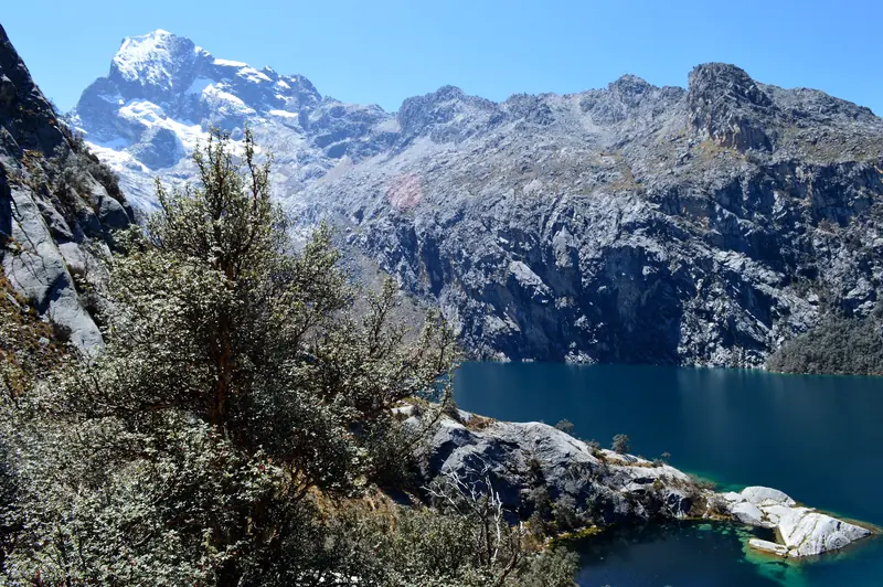
The first night is already at 4,250 m (13,940 ft). Arrive in Huaraz (about 3,050 m / 10,000 ft) at least 3 or 4 days before the start and do two day hikes first, such as Laguna Churup and Laguna 69. The CDC notes that initial acclimatization takes 3 to 5 days and recommends that, above 2,750 m (9,000 ft), you raise your sleeping altitude by no more than about 500 m (1,600 ft) per day.
If you have confusion, loss of coordination, shortness of breath at rest or a strong headache that does not ease with rest, the right move is to go down (CDC; Peru's Ministry of Health). The full plan is in our Huaraz acclimatization guide.
Best time to hike Huayhuash
In the Áncash Andes the dry season runs from May to September or October, and the rainy season from October to April (SERNANP, for the neighboring Cordillera Blanca). Those are the months we recommend for Huayhuash: clearer days and drier trails on the passes, in exchange for very cold nights at the high camps.
In the rainy season expect more mud, possible snow on the passes (especially Cuyoc) and fewer views.
Frequently asked questions
How many days is the Huayhuash trek?
Our full circuit takes 12 days and covers about 130 km (80 miles), from Cuartelhuain to Pocpa. Depending on the route, the circuit is done in 8 to 14 days.
8 or 12 days: which Huayhuash trek should I choose?
The 12-day trek is the full loop: it passes Laguna Viconga and Cuyoc pass (5,000 m) and includes two rest days. The 8-day Huayhuash trek takes a shortcut over Trapecio pass (4,750 m), crosses two passes in one day and has a single rest day. If you have the time, the 12-day circuit is walked at an easier pace.
What is the highest pass on the Huayhuash trek?
Cuyoc, at 5,000 m (16,400 ft), on day 6. The other six passes range from 4,620 m (Carhuac) to 4,800 m (Siula and Tapush). Diablo Mudo (5,223 m) is an optional summit on day 10, not a pass.
How much does the Huayhuash trek cost?
It depends on group size, dates and what the service includes. Message us on WhatsApp with your dates and we will send you the price and the full list of what is included. Community fees on the trail are paid separately.
Is there an entrance fee for Huayhuash?
There is no park ticket: Huayhuash is the Cordillera Huayhuash Reserved Zone (Ministerial Resolution 1173-2002-AG), not a national park. Instead, each campesino community whose land the circuit crosses charges a fee at its campsites; amounts change every season, and we give you the total when you book.
How hard is the Huayhuash circuit?
Very hard: 12 days, about 130 km, seven passes between 4,620 and 5,000 m, and cold nights in a tent. No technical climbing is involved, but you need good fitness, multi-day trekking experience and 3 to 4 days of acclimatization in Huaraz.
When is the best time to hike Huayhuash?
In the dry season, from May to September or October. From October to April it rains, and the passes can be muddy or snowy. Compare it with our other routes on the treks page.